Mt. Crawford (3129 ft.) via The Davis Path.
WHAT A DAY!!! Pack thermometer showed a temperature of 56°, but it felt much warmer to me. I wound up hiking in shorts, then shirtless (I realize this is a scary visual - but it was that warm!). I left Kittery around 7AM, arriving at the trail head shortly after 9AM. There was one other hiker there, and we didn't cross paths till we had nearly summited. At which time, of course, she passed my struggling ass like a greyhound, but we won't go there. The Davis Path is an incredibly steep, stoney climb. It's shocking to imagine that this was once a bridle path. The trail climbs through a densely grown wooded area, but about 2 miles in there is a beautful rock outcropping, from which I took some spectacular photos of Mt. Carraigan. As I neared the summit, Mt. Washington and Tuckerman's Ravine came into view. His snow-covered Majesty never looked better, I assure you. I hope my cheap camera did this shot justice. I spent a roll of film between this point and the summit, by which I hope to provide a panorama of the Presidentials. Using the AMC guide maps, I was able to to locate most of the Crawford Notch area peaks, which was actually quite interesting. The photos should allow me to present this to you. I'd recommend this climb to anyone, but prepare for it, it is very physically taxing.
• Pictures Galore Below! • |
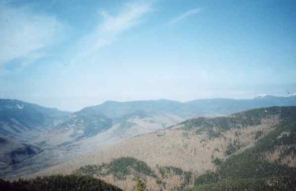
Here is a shot of the view of Route 302, South through Crawford Notch, taken below the summit of Mt. Crawford.
 |
The view to the west, also taken south of Crawford's summit.
 |
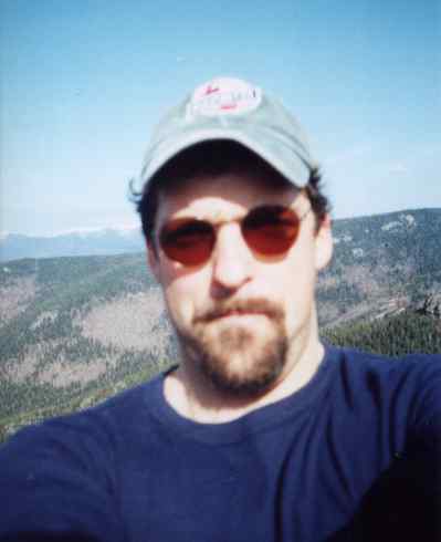
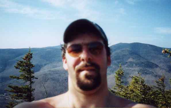
Another of my infamous self-portraits. (If someone would hike with me once in awhile, these wouldn't be necessary!)
 |
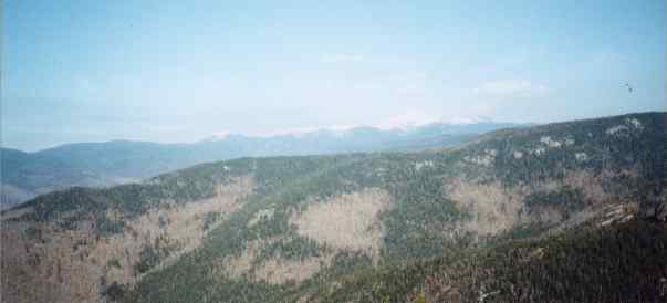
From the summit, the panorama, west to east. In the southwest, you can notice (barely) in the distance Mt. Tripyramid. There is a trail which climbs all three of these 4,000 ft. peaks, I'd like to do it next summer if anyone is game (this would be a tent trip).
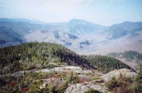 |
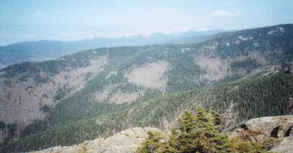
Mt. Carrigain is visible behind the peak with the "scar" coming toward you. If your screen resolution is good, you should be able to make out the Carrigain Slides.
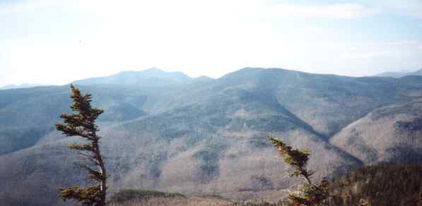 |
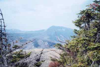
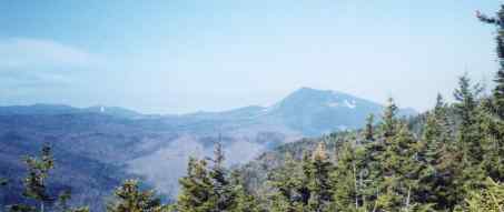
Mt. Webster and Mt. Jackson are visible here. These were to be the climb of the previous week, postponed until spring *sniff... sob*.
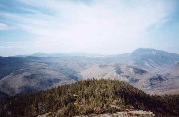 |
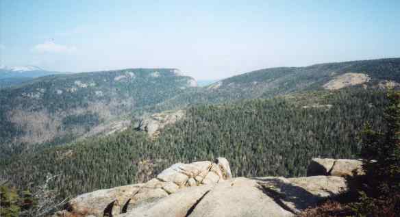
In the foreground is the shoulder of Stairs Mountain, in the distance are Mt. Jackson and Mt. Pierce.
 |
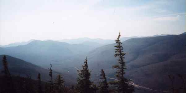
These next two shots show the Presidentials with Stairs Mountain in the foreground. The view of Tuckerman's Ravine was spectacular, unfortunately, my camera fails to do it justice. You'll just have to check it out for yourself sometime.
 |
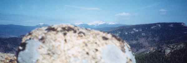
Here is the best shot I got of His Majesty, Mt. Washington. To get this shot, I had my left leg wedged against a rock while my right leg dangled off a cliff - about a 25 foot drop - but I had to get this shot!
 |
Holy anti-climactic Batman! The view west of His Majesty, this looks out through the banks of Stairs Mountain (left) and Mt. Resolution (right - named for the efforts of Nathaniel T. Davis, who constructed the bridle path that is now the Davis Path) at puny little Mt. Maple.
 |
Lastly in the panorama is the view to the east of Mt. Crawford. Not sure what the big boy to the right is, my map runs out and the adjoining map isn't much help. You just gotta GO!
 |
The final photo is the fool himself, posing for the Co-ed Naked Hiking shirt. It felt like it was about 75°, but the pack thermometer told a different story, as noted above. Weather-wise, this may have been the single best hiking day I've ever experienced.
 |